Widgetized Section
Go to Admin » Appearance » Widgets » and move Gabfire Widget: Social into that MastheadOverlay zone
Huge powder cycle continues this week at Vail, Beaver Creek
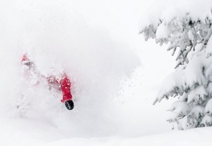
Vail and Beaver Creek both received another small shot of snow overnight Monday into Tuesday and a lot more is headed into the state this week after a huge powder cycle last week.
Vail’s total season-to-date snowfall went over the 200-inch mark (more than 16 feet) and the mid-mountain settled base now stands at a healthy 64 inches. Vail averages 350 inches of snow a season. So with a strong February, March and April, Vail Valley ski areas should finish above average.
Last season, huge amounts of snow fell in April, allowing Vail to re-open for the season. This season’s closing day is set for Easter Sunday, April 20. Last week nearly 3 feet of new snow fell on Vail and Beaver Creek. But the snow spigot is still open this week.
“It’ll snow Tuesday, Thursday, Friday, and next Monday/Tuesday. Not a bad followup to last week’s dumpage, eh?” Opensnow.com meteorologist Joel Gratz wrote this morning. “The best powder will be Tuesday, Wednesday morning (maybe), Friday, Saturday morning, next Monday and perhaps next Tuesday morning.”
The Colorado Avalanche Information Center (CAIC) has the back-country avalanche conditions rated as “Considerable (dangerous avalanche conditions)” across much of the state, including the Vail and Summit County area.
“Persistent and Deep Persistent Slab avalanches remain a serious problem,” the CAIC reports this morning. “The recent snow fell on a snowpack with multiple persistent weak layers. Avalanches that break on these weak layers will be dangerous, and large or very large.”


