Widgetized Section
Go to Admin » Appearance » Widgets » and move Gabfire Widget: Social into that MastheadOverlay zone
Modest snow at Vail, Beaver Creek, but more in forecast

Light snow was still falling in the Eagle River Valley Monday morning after a stormy weekend that produced much more snow on Colorado’s Front Range than at Vail and Beaver Creek.
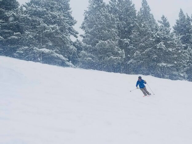
Both local Eagle County ski areas saw close to a foot of new snow between Saturday evening and Monday morning, with deeper totals in places like Blue Sky Basin at Vail (11 inches) and Beaver Creek in general (two-day total of 11).
Those totals were fun to ski on Sunday and Monday morning but a far cry from the 27 inches that fell on Denver International Airport. But the storm, which came in very slowly and later Saturday than first forecast, pretty much delivered as predicted — with far more snow in Front Range cities and foothills.
Some skis areas, such as Telluride in the southwest and Eldora on the Front Range, saw more than 2 feet of fresh.
The good news for Vail and Beaver Creek is snow is back in the forecast from midday Tuesday through midday Wednesday, so things should stay soft well into mid-week. Then after a dry period from Thursday through Saturday, another stormy cycle should move in next week.
“Sunday was a stormy day across Colorado and weekend snowfall at ski areas ranged from just a few inches to 2+ feet,” Opensnow.com meteorologist Joel Gratz wrote Monday morning. “Now on Monday, the last part of the storm will drop snow through midday, and then we’ll see a break until Tuesday midday. From Tuesday midday through Wednesday midday, another storm will bring 2-10 inches of snow. Then our next chance for snow will be Sunday and Monday (March 21-22).”
As both local resorts nudge past 200 inches total for the season (still more than 100 below average for the season), conditions are steadily improving with the season recently extended by a week. Beaver Creek now closes Sunday, April 11, and Vail closes Sunday, April 18.


